Betul District
Betul is one of the main districts of Madhya Pradesh. It is bounded on the north by the district of Hoshangabad, the district of Amaroti of the state of Maharashtra on the south, the district of Chhindwara on the east, and the districts of Hoshangabad and East Nimar on the west. The district covers an area of 10,043 square kilometers and it has a population of 1,395,175 (as per the 2001 census), making for a population density of 138 per square kilometer. Betul district is also particularly rich in tribal population; the main tribes inhabiting the place are the Gonds and ...

Balaghat District
Balaghat is one of Madhya Pradesh's districts, located in the southern part of the Jabalpur Division. It can be found on the upper valley of the Wainganga River, on the southeastern portion of the Satpura Range. The whole district has a total area of 9, 245 square kilometers. Its boundaries are the Mandla district to the north, the districts of Gondiya and Bhandara of Maharashtra to the south, Dindori district to the northwest, Chhatisgarh's Rajnandgaon district to the east, and Seoni district to the west. As of the 2001 census, the total population of the district is 1,497,968 people. Of ...
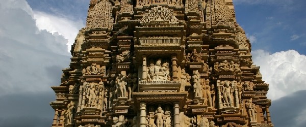
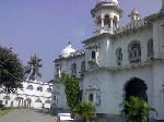
Madhya Pradesh Tourism
 Balaghat District
Balaghat is one of Madhya Pradesh’s districts, located in the southern part of the Jabalpur Division....
Betul District
Betul is one of the main districts of Madhya Pradesh. It is bounded on the north by the district of Hoshangabad,...
Madhya Pradesh TourismMadhya Pradesh Locations
Balaghat District
Balaghat is one of Madhya Pradesh’s districts, located in the southern part of the Jabalpur Division....
Betul District
Betul is one of the main districts of Madhya Pradesh. It is bounded on the north by the district of Hoshangabad,...
Madhya Pradesh LocationsMadhya Pradesh Sights
Madhya Pradesh SightsMadhya Pradesh Information
Madhya Pradesh Information-
Advertisement